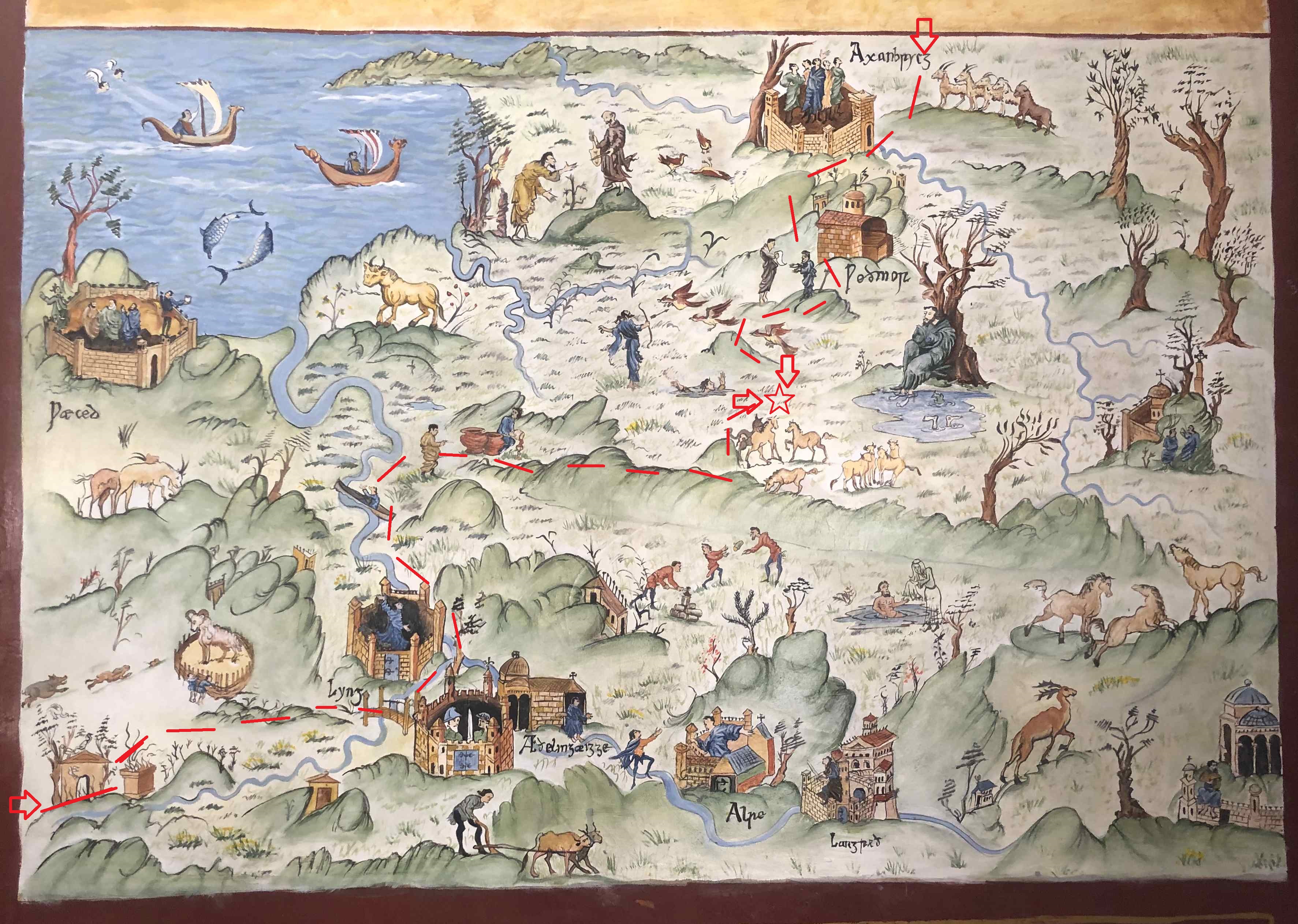
There have been complaints that the last map used to show the site location was somewhat out of date. Below is a much more recent map that will hopefully clear up any uncertainty. If coming from the south, follow the road from Taunton to the burh at Lyng and then catch a boat from the landing stage beside the fortified bridge over to Athelney Abbey. That vessel can take you across to the Poldens, from whence you follow the old Roman road along the ridge in the direction of Glastonbury Abbey. Turn north when you reach the Sheep Wick, follow the track down the hill and then wade through the bog until you reach the destination. If coming from the north, cross the Axe at the burh at Axbridge and proceed across Wedmore island. Traverse the bog west of Meare Pool utilising the small sand burtles and Westhay island until you wade through the fen over the last section. Hopefully that is all now perfectly clear. If not look here. For those using the Alfredian what4words, its AELFRED MEC HEHT GEWYRCAN.

On reflection, I have decided that it would be better to stay at home!
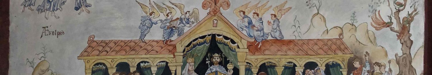
Love it!
oh this one is absolutely brilliant!